
Frequently asked questions
How can space technology help urban planning, development and smart cities?
Three families of satellite technology work together to make cities more sustainable, functional and livable. Earth Observation (EO) delivers the imagery and data behind green space analysis, smart zoning, traffic management and urban-expansion forecasting. GNSS provides the accurate, real-time location data that powers asset tracking, sustainable mobility and GIS mapping. Satellite Communication (SatCom) keeps IoT devices, emergency networks and underserved neighbourhoods connected — even where terrestrial networks fall short.
What can Earth Observation (EO) do for urban planners and city managers?
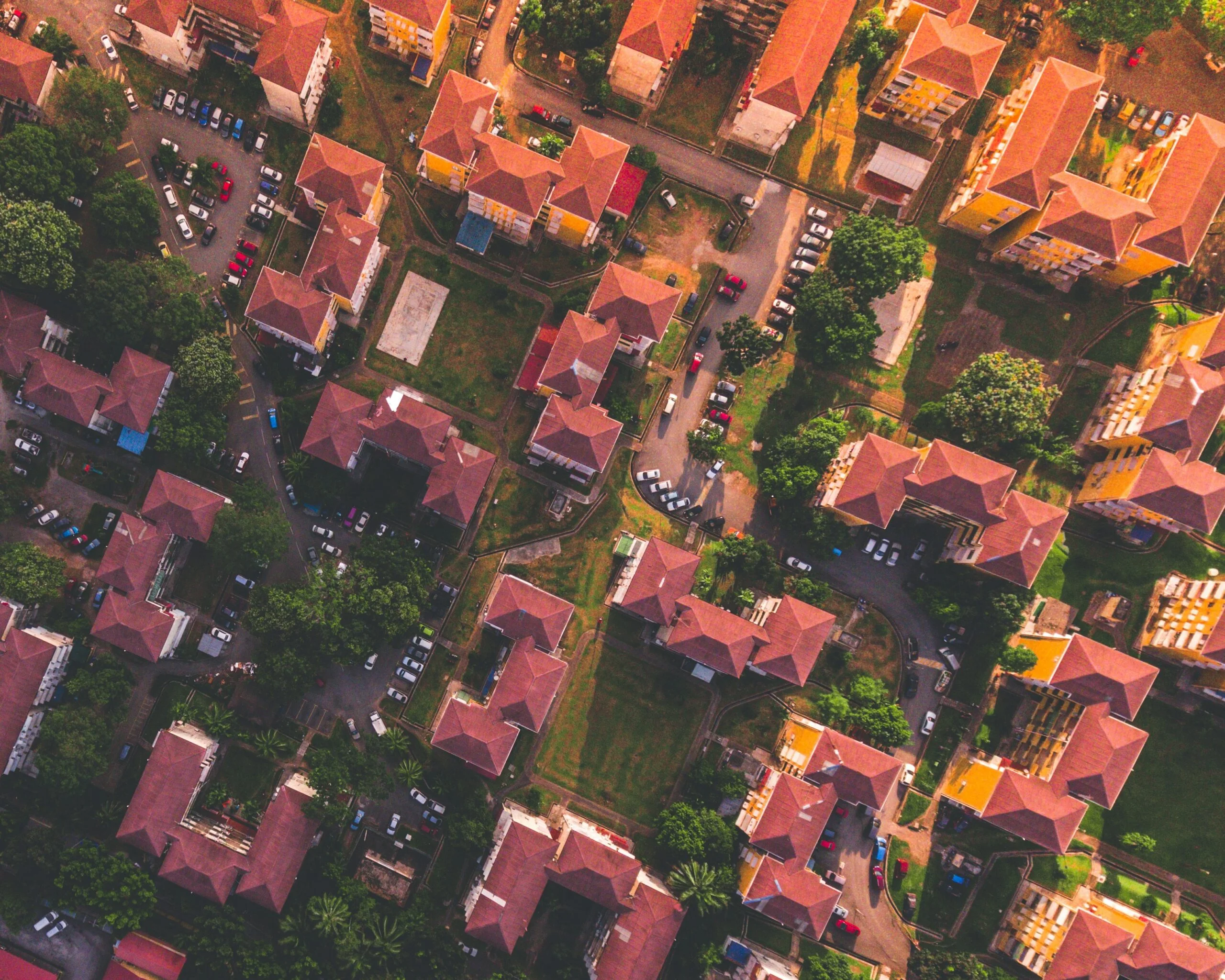
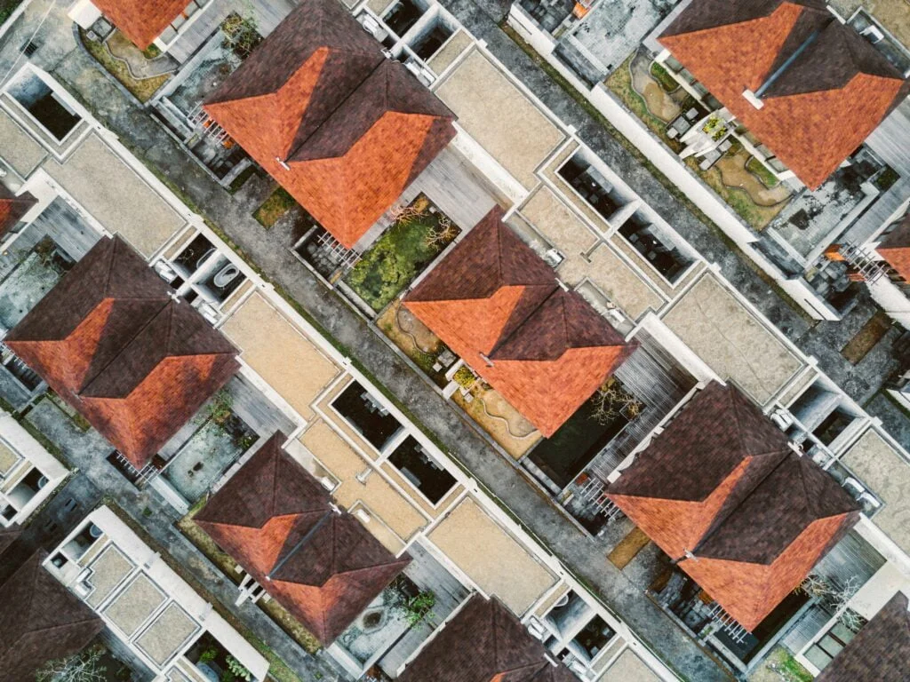
EO turns satellite imagery into practical planning insight. It supports green space analysis — mapping the quantity and health of parks, urban forests and gardens through vegetation indices — and smart utility management that spots leaks or grid inefficiencies and predicts peak demand. EO also drives urban expansion forecasting and smart zoning to optimise land use, plus intelligent traffic management that monitors flow in real time and adjusts signals to ease congestion. It can even identify rooftops suited to solar panels and analyse how public spaces are actually used.
How does GNSS help build smarter, more sustainable cities?
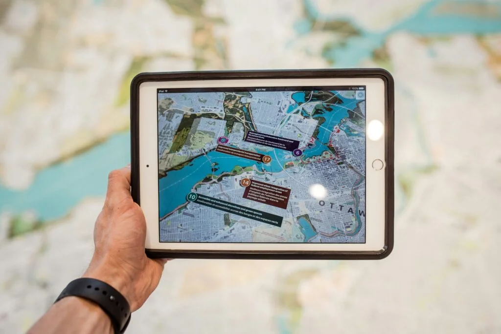
By providing accurate, real-time location data, GNSS enables precision navigation and asset tracking for smart logistics — optimising routes for waste collection, emergency services and public transport. It underpins sustainable mobility services such as bike-sharing and electric scooters, and helps monitor urban boundaries to control sprawl. GNSS also anchors augmented-reality tools that let maintenance crews visualise underground utilities, and feeds the GIS maps that residents can use to contribute to community planning.
Why does satellite communication (SatCom) matter for smart and resilient cities?
SatCom keeps cities connected where terrestrial networks are unreliable, ensuring IoT devices — from environmental sensors to public-safety equipment — stay online across remote or underserved urban areas. When disasters or infrastructure failures strike, it provides resilient emergency communication networks to coordinate responses and keep critical services running. SatCom also helps bridge the digital divide by bringing high-speed internet to underserved communities, and supports city-wide surveillance and emergency-alert systems for public safety.
How can we get started with space technology in urban planning and smart cities?
LETO SPACE is an independent advisor: we help you pinpoint where Earth Observation, GNSS and SatCom add the most value for your city and operations and turn that into a practical plan. The easiest first step is a free, no-obligation consultation. Get in touch to talk through your goals.