
Frequently asked questions
How can space technology help the maritime and waterways sector?
Three families of space technology work together for shipping, ports and inland waterways. Earth Observation (EO) delivers satellite imagery and data for port logistics, environmental monitoring and ship detection. GNSS provides the precise positioning, navigation and timing that vessels rely on for safe navigation and automated docking. Satellite Communication (SatCom) keeps ships connected to shore anywhere in the world for operations, safety and compliance.
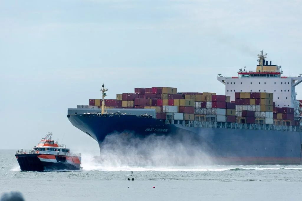
What can Earth Observation (EO) do for maritime operators and authorities?
EO turns satellite data into actionable insight across operations and the environment. Satellite imagery supports port operations by monitoring vessel movements, dock occupancy and cargo handling, while space-based synthetic aperture radar (SAR) detects and tracks vessels worldwide — even where AIS coverage is missing. EO also enables remote compliance monitoring of emissions and waste, flags ocean-health concerns such as oil spills and algae blooms, and optimises shipping routes using real-time ocean, wind and weather data to cut fuel use and improve safety.
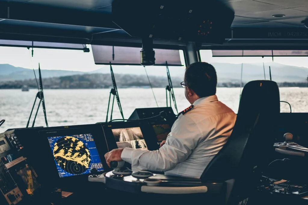
How does GNSS help ships and fleets navigate and operate safely?
GNSS provides the precise positioning, navigation and timing (PNT) that underpins modern maritime activity. It enables highly accurate ship navigation through narrow passages and congested corridors, supports automated docking with minimal human intervention, and is a foundational technology for Maritime Autonomous Surface Ships (MASS). Augmentation systems such as EGNOS and WAAS sharpen accuracy further for sensitive waterways, while GNSS also drives real-time fleet management, asset and container tracking, and monitoring of fishing vessels to enforce sustainable practices.
Why does satellite communication (SatCom) matter for vessels at sea?
SatCom provides the reliable, global connectivity that ships need wherever they sail. It keeps vessels in constant contact with shore for fleet coordination, electronic reporting to port authorities, and remote monitoring of engine performance and fuel consumption to enable preemptive maintenance. In emergencies — from a malfunction to a piracy attack — SatCom is an indispensable line for distress signalling and rescue coordination, and it carries real-time weather warnings and AIS data transmission. It also supports crew welfare by keeping people in touch with their families at sea.
How can we get started with space technology in the maritime and waterways sector?
LETO SPACE is an independent advisor: we help you pinpoint where Earth Observation, GNSS and SatCom add the most value for your maritime operations and turn that into a practical plan. The easiest first step is a free, no-obligation consultation. Get in touch to talk through your goals.