Frequently asked questions
How can space technology help forestry?
Three families of satellite technology support forest management, conservation and commercial operations. Earth Observation (EO) uses satellite imagery and LiDAR to monitor forest health, estimate biomass and carbon stock, and detect illegal logging and degradation. GNSS delivers precise positioning for harvesting machinery, asset tracking, log transport and drone-assisted reforestation. Satellite Communication (SatCom) keeps remote forestry sites connected for data transmission, environmental monitoring and disaster response.
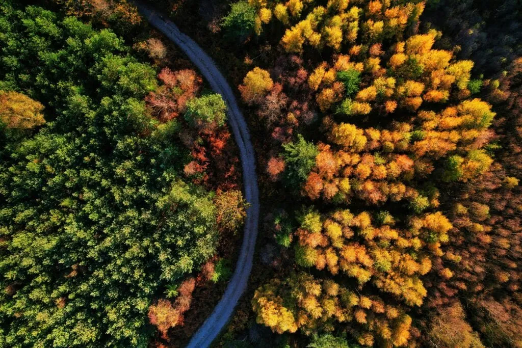
What can Earth Observation (EO) do for forest managers?
EO turns satellite data into actionable insight across the forest. Multispectral and hyperspectral imagery detects early symptoms of pests, disease and stress through defoliation, colour changes and reduced canopy density, and can even identify individual tree species. Space-based LiDAR builds 3D models of forest structure to measure canopy height, biomass and carbon stock, while continuous monitoring flags deforestation, illegal logging and degradation. EO also supports precision forestry — guiding species selection, planting and sustainable harvest schedules — and helps map habitats for biodiversity conservation.
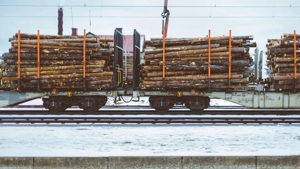
How does GNSS help forestry operations?
GNSS provides the precise positioning that modern forestry operations depend on. It guides harvesters and forwarders for selective, low-impact logging that protects the forest floor and non-target trees, and it tracks the location and movement of equipment to improve efficiency and worker safety. GNSS also optimises the routing and scheduling of log transport — cutting fuel use and emissions — and enables drone-assisted reforestation, where seed pods are dropped precisely across large or hard-to-reach areas.
Why does satellite communication (SatCom) matter for forestry?
Forestry often takes place in remote areas where terrestrial networks are unreliable or absent, and SatCom closes that gap. It connects workers, machinery and control centres to coordinate activities safely, and transmits real-time data from remote sensors — covering forest health, fire detection, wildlife movements and illegal logging. SatCom is also vital for disaster response when ground networks fail, and it underpins supply-chain tracking and satellite-enabled IoT sensor networks that monitor forest health continuously.
How can we get started with space technology in forestry?
LETO SPACE is an independent advisor: we help you pinpoint where Earth Observation, GNSS and SatCom add the most value for your forestry operations and turn that into a practical plan. The easiest first step is a free, no-obligation consultation. Get in touch to talk through your goals.