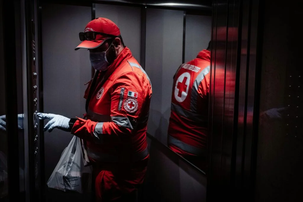
Emergency Services & Public Safety

This sector includes services that provide immediate response to emergencies and incidents threatening public safety, such as police, fire, and emergency medical services. It plays a crucial role in maintaining law and order, preventing and extinguishing fires, providing urgent medical assistance, and managing other emergencies. The industry is rapidly evolving with advancements in technology and communication systems. It also involves extensive training and preparedness activities to effectively handle a wide range of emergency situations.

Unlock Your Industry's Potential with Space - Schedule a Free Consultation Today!

Table of Contents

  • Smart Emergency Response: Integration of smart technologies like AI and IoT for quicker and more efficient responses.
  • Advanced Communication Systems: Development of robust and secure communication networks for emergency services.
  • Community Engagement Programs: Increasing public awareness and participation in safety and emergency preparedness.

  • Rapid Urbanization: Managing emergencies in densely populated urban areas.
  • Resource Constraints: Balancing budget limitations with the need for modern equipment and training.
  • Mental Health of First Responders: Addressing the psychological impact of emergency response work.

EO for Emergency Services & Public Safety

Earth Observation (EO) technologies provide critical support to Emergency Services & Public Safety by enhancing their ability to respond to incidents, manage resources, and ensure public safety.

Incident Detection and Response

Real-time Monitoring for Incident Detection: EO technologies can monitor urban areas, forests, and coastlines in real time, quickly detecting incidents such as fires, floods, or illegal activities. This immediate detection enables swift response from emergency services, potentially saving lives and resources.


Disaster Impact Assessment: After natural disasters, EO data is essential for assessing the extent of damage, identifying affected areas, and prioritizing response efforts. This helps in allocating resources effectively and directing emergency services where they are needed most.


Resource Management and Logistics

Optimizing Emergency Response Routes: EO data, integrated with GIS, can identify the most efficient routes for emergency vehicles, considering traffic conditions, road closures, and the nature of the emergency. This reduces response times and improves the efficiency of emergency services.


Resource Allocation and Planning: By analyzing EO data, emergency service providers can plan and allocate resources more effectively, ensuring that high-risk areas are adequately covered and resources are pre-positioned in anticipation of potential incidents.


Search and Rescue Operations

SAR in Remote or Inaccessible Areas: EO technologies are crucial for search and rescue operations in remote or difficult-to-access areas. Satellite imagery can help locate missing persons or vessels in vast areas like oceans, mountains, or dense forests, guiding rescue teams more accurately.


Situational awareness supporting SAR: EO services can assist Maritime and Joint Rescue Coordination Centres (RCC) in a wide range of activities at sea, including support to SAR operations and exercises. EO information, combined with maritime data and external sources, can provide a better understanding and improved monitoring of activities at sea (including detection of ships in distress, SAR response support, etc.).


Public Safety and Law Enforcement

Monitoring and Enforcement in Protected Areas: EO technologies enable the monitoring of protected areas for illegal activities such as poaching, logging, or unauthorized entry, assisting law enforcement in safeguarding these zones.


Crowd Monitoring and Management: During large public events, EO data can be used to monitor crowd sizes and movements, helping law enforcement and public safety officials to manage crowds effectively and prevent incidents.

GNSS for Emergency Services & Public Safety

GNSS is crucial for Emergency Services & Public Safety by offering solutions that save lives, enhance efficiency and accuracy, and ensure the safety of both the public and responders.

Rapid Response and Incident Management

Enhanced Navigation for Emergency Vehicles: GNSS technology provides real-time navigation for emergency vehicles, ensuring the fastest and most efficient routes to the incident scene, taking into account current traffic conditions and road closures.


Accurate Incident Location: When emergencies are reported through GNSS-enabled devices, responders can determine the exact location of the incident, reducing response times and improving the chances of positive outcomes.


Search and Rescue Operations

Precision in Search and Rescue Missions: GNSS is indispensable in search and rescue (SAR) operations, enabling teams to precisely locate individuals in distress in vast and challenging terrains, such as mountains, forests, or at sea.


  • SAR operations – at sea: Ship and person-registered beacons, i.e., Emergency Position Indicating Radio Beacons (EPIRBs) and Personal Locator Beacons (PLBs), transmit, once activated, the necessary information for rescue to authorities via COSPAS / SARSAT payloads carried by GNSS satellites. The AIS-SART (Search and Rescue Transmitter) and AIS-MOB (Man Overboard) beacons not only transmit the position of the person in distress but also share this location through the Automatic Identification System (AIS) with nearby vessels, by pinpointing an AIS distress signal onto the nearby vessel’s ECDIS (Electronic Chart Display Information System).


  • SAR operations – aviation: Aircraft should be equipped with Emergency Locator Transmitters (ELTs) or a PLB that helps Search and Rescue operations in the event of an incident. In line with requirements in ICAO Annex 10 (and standards set in ICAO Annex 6) as well as the implementation of the Global Aeronautical Distress and Safety System (GADSS), many ELTs utilise GNSS to report their position when triggered.


  • SAR operations – land: Climbers and hikers are advised to equip themselves with a PLB in case they find themselves in distress.


Tracking and Coordination of SAR Teams: GNSS helps in the effective coordination and tracking of multiple SAR teams on the ground, ensuring they cover the area efficiently and safely, and preventing duplication of efforts.


Public Safety and Security

Crowd Management and Event Security: During large public events, GNSS can help coordinate the deployment of emergency services and law enforcement personnel, ensuring public safety and rapid response to any incidents.


Wearables for Vulnerable Individuals: GNSS-enabled smart wearables can monitor the location of vulnerable populations, such as the elderly or those with health conditions, facilitating rapid assistance in emergencies.


Preparedness and Response

Mapping and Analysis for Service Preparedness: GNSS data supports the mapping and analysis of disaster-prone areas, aiding in preparedness planning and mitigation efforts to reduce the impact of incidents.


Efficient Deployment of Aid and Resources: In the aftermath of a disaster, GNSS technology enables the efficient deployment of aid, resources, and personnel to affected areas, ensuring that assistance is delivered where it is most needed.


Drones for Emergency Medical Supplies Delivery: GNSS-guided drones can rapidly deliver medical supplies, such as blood or vaccines, to remote or hard-to-reach areas, significantly reducing delivery times in critical situations.


Smart City Applications for Public Safety: In smart city ecosystems, GNSS is integrated with other technologies to improve urban safety, including intelligent street lighting, traffic management systems, and emergency call boxes, enhancing overall public safety and emergency response capabilities.

SatCom for Emergency Services & Public Safety

SatCom has an essential role in supporting Emergency Services and Public Safety, providing reliable communication that enhances response capabilities, supports public safety efforts, and aids in recovery and preparedness.

Operations Management and Coordination

Emergency Hotlines and Public Alerts: SatCom supports emergency hotline services and the broadcasting of public alerts, ensuring that populations in affected areas receive timely warnings, instructions, and updates, which is crucial for public safety during emergencies.


Emergency Communication Networks: In the event that terrestrial communication networks fail, SatCom provides an indispensable backup, enabling emergency responders to coordinate efforts, share critical information, and manage resources effectively across affected areas.


Real-time Monitoring for Public Events: For large public events or demonstrations, SatCom supports the deployment of temporary, mobile command centres equipped with real-time surveillance capabilities. This aids law enforcement in crowd control, threat assessment, and rapid response to incidents.


Disaster & Response Operations

Enhanced SAR Coordination: SatCom facilitates the coordination of Search and Rescue (SAR) operations over vast and inaccessible areas. By providing reliable communication links, SatCom ensures that SAR teams can stay connected, coordinate logistics, and expedite rescue efforts., which is crucial for saving lives.


Incident Recovery Communication: Post-incident recovery efforts require meticulous planning and coordination. SatCom provides a resilient communication platform for coordinating rebuilding efforts, facilitating aid distribution, and supporting affected communities.


Portable SatCom Kits for First Responders: Lightweight, portable SatCom kits can be rapidly deployed to first responders, providing them with immediate voice and data communication capabilities. These kits are crucial for establishing on-the-ground communication networks in the early stages of a crisis.


Drone Integration for Enhanced Situational Awareness: Integrating SatCom with drone technology allows for the real-time transmission of aerial footage back to command centres. This application is invaluable for assessing incident impact, monitoring events, or conducting large-scale search and rescue operations.

Innovative Applications

Quantum Communication Solutions: Offers highly secure, tamper-proof communications for sensitive emergency operations, leveraging the principles of quantum mechanics. This technology ensures that any attempt at eavesdropping can be immediately detected, providing a new level of security for critical communications.


Augmented Reality (AR) for First Responders: Integrating live satellite data with AR headsets to provide first responders with real-time information overlays, such as the layout of a building, the location of hazardous materials, or the best evacuation routes, significantly enhancing situational awareness and decision-making in critical situations.


Autonomous Drones for SAR and Surveillance: Drones equipped with thermal cameras and night vision, guided by satellite navigation, can be deployed for search and rescue missions or to surveil areas where it may be too dangerous for human teams. These drones can quickly cover large areas, providing live feeds back to command centres.

Unlock Your Industry's Potential with Space - Schedule a Free Consultation Today!