
Frequently asked questions
How can space technology help the road and automotive industry?
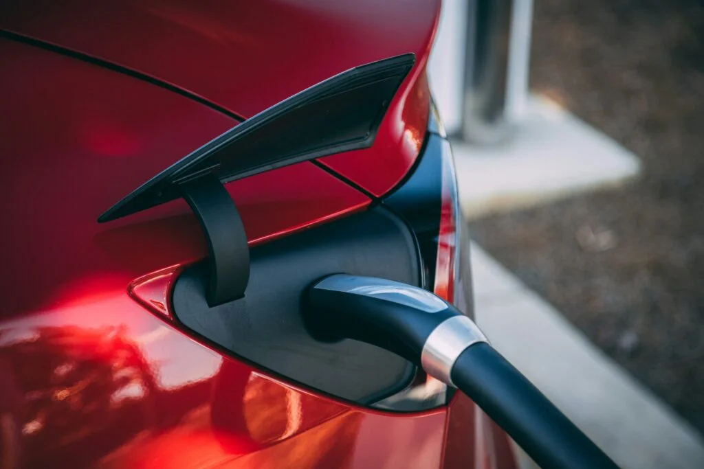
Three families of space technology work together for road and automotive. Earth Observation (EO) uses satellite imagery to monitor road conditions, map pollution and traffic, and support electric and autonomous vehicles. GNSS delivers the positioning, navigation and timing (PNT) behind real-time navigation, fleet tracking and driver-assistance systems. Satellite Communication (SatCom) keeps vehicles and roadside infrastructure connected across remote or underserved areas where cellular coverage falls short.
What can Earth Observation (EO) do for road operators and automotive companies?
EO turns satellite imagery into practical insight for roads and vehicles. It supports real-time road condition monitoring to spot potholes and wear, traffic flow analysis to design less congested infrastructure, and pollution mapping to pinpoint air-quality hotspots from traffic. EO also helps identify optimal EV charging station locations and rapidly assess road damage after floods, earthquakes or landslides so repairs can be prioritised.
How does GNSS help vehicles and fleets?
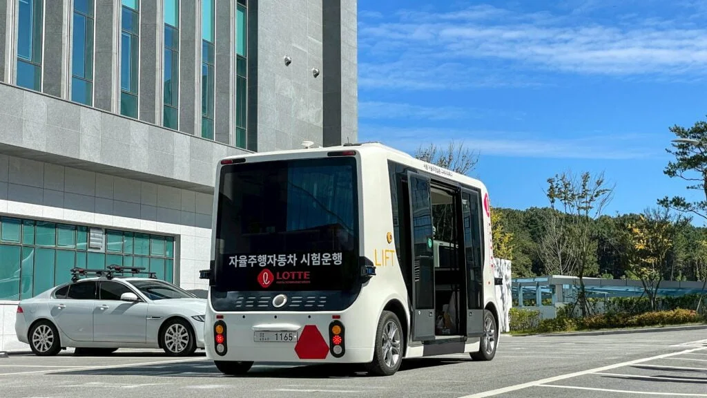
GNSS provides the precise positioning, navigation and timing that modern mobility depends on. It powers real-time navigation systems, fleet management and logistics tracking, and Advanced Driver-Assistance Systems (ADAS) such as adaptive cruise control and lane keeping. GNSS also enables Intelligent Transportation Systems (ITS) that adjust traffic signals dynamically, plus electronic toll collection and Road User Charging without physical toll booths.
Why does satellite communication (SatCom) matter for road and automotive?
SatCom keeps vehicles and infrastructure connected where cellular networks cannot reach. It underpins Emergency Call services (eCall) and Beyond-Line-of-Sight (BLoS) tracking for long-haul trucks in remote regions, plus theft recovery and asset tracking for high-value cargo. SatCom also supplies the bandwidth autonomous and connected vehicles need for V2X data exchange, and turns vehicles into Wi-Fi hotspots for on-the-move passenger services.
How can we get started with space technology in road and automotive?
LETO SPACE is an independent advisor: we help you pinpoint where Earth Observation, GNSS and SatCom add the most value for your operations and turn that into a practical plan. The easiest first step is a free, no-obligation consultation. Get in touch to talk through your goals.