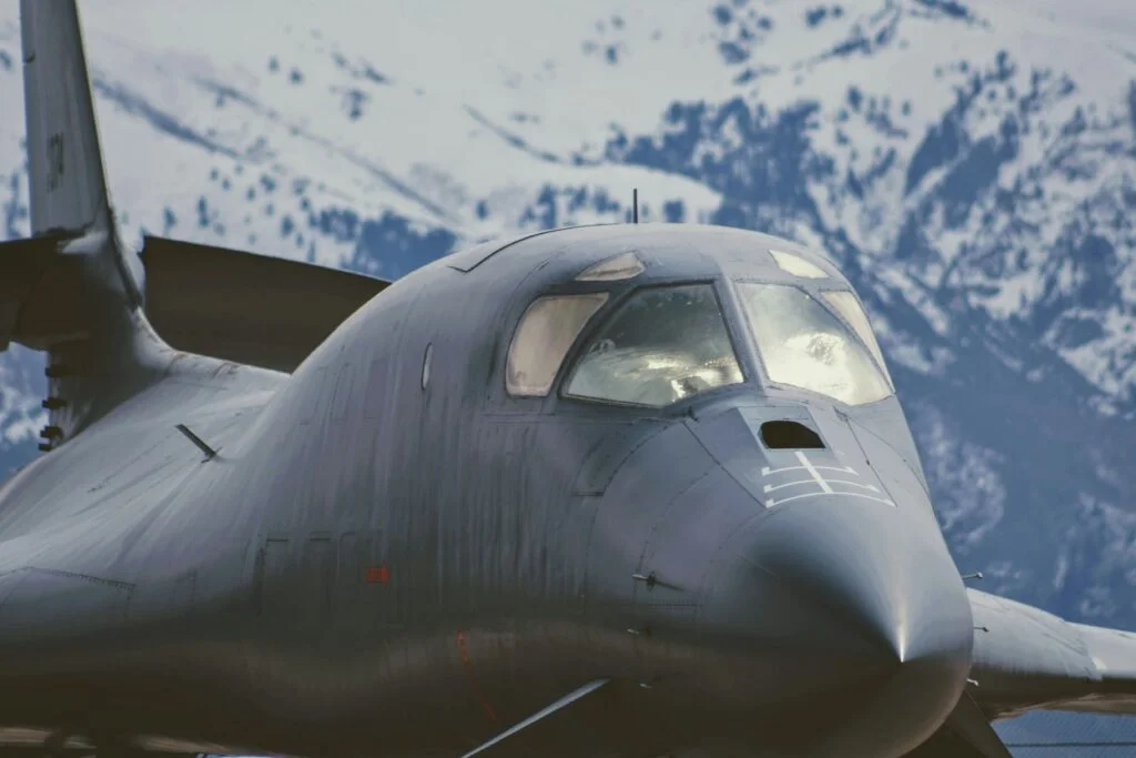
Defence
The defence industry encompasses the research, development, production, and service of military materials, equipment, and facilities. This sector is crucial for national security and often involves state-of-the-art technology in areas such as aerospace, naval engineering, and cybersecurity. Defence companies produce a wide range of products including weapons, aircraft, ships, vehicles, and electronic systems. The industry is heavily influenced by geopolitical factors and government policies, with significant investments in research and development to stay ahead in technological advancements. Ethical considerations and international regulations also play a key role in shaping industry practices.
Unlock Your Industry's Potential with Space - Schedule a Free Consultation Today!
Table of Contents
- Cybersecurity: Increasing focus on protecting military networks and systems from cyber threats.
- Unmanned Systems: Expanding use of drones, autonomous vehicles, and robotic systems in military operations.
- Artificial Intelligence: Integrating AI into defence systems for enhanced decision-making and operational efficiency.
- Budget Constraints: Balancing the need for advanced technologies with budgetary limitations.
- Geopolitical Tensions: Navigating a complex international security environment.
- Ethical Concerns: Addressing moral and ethical issues surrounding new military technologies, such as autonomous weapons.
EO for Defence
Earth Observation (EO) technology is of strategic importance in defence, offering capabilities that enhance situational awareness, operational planning, and security measures. The continuous advancement in satellite technologies and data analytics further expands the potential of EO in supporting defence and security operations globally.
Strategic Surveillance and Reconnaissance
Geospatial Intelligence (GEOINT): EO satellites provide high-resolution imagery for geospatial intelligence, enabling the monitoring of strategic locations, troop movements, and infrastructure. This is crucial for situational awareness and operational planning.
Early Warning Systems: Satellite imagery can detect missile launches and troop mobilizations, providing early warnings to defence forces and government agencies.
Operational Support
Mission Planning and Execution: High-resolution, real-time satellite imagery supports the planning and execution of military operations, including navigation, targeting, and assessment of operational environments.
Navigation and Targeting: EO data enhances the accuracy of GPS-guided munitions and unmanned aerial vehicles (UAVs) by providing updated maps and terrain data. This ensures precision targeting while minimizing collateral damage.
Damage Assessment: Post-conflict satellite imagery allows for the rapid assessment of damage to infrastructure and environmental impact, aiding in the quick allocation of resources for recovery and rebuilding efforts.
Security and Border Control
Border Surveillance: EO technologies monitor border areas for illegal crossings, smuggling activities, and infrastructure breaches, enhancing national security.
Maritime Surveillance: Satellite imagery supports the monitoring of maritime domains, tracking naval fleets, and detecting illegal fishing, piracy, and smuggling.
Environmental and Terrain Analysis
Terrain Analysis: EO data provides detailed terrain analysis for strategic defence planning, including the identification of potential obstacles and advantages in various geographic areas.
Change Detection: Monitoring changes in landscapes, such as the construction of military facilities or changes in troop deployments, enables the early detection of potential threats and the tracking of enemy activities over time.
Environmental Monitoring: Monitoring environmental conditions is crucial for understanding how weather and terrain impact operations and logistics.

GNSS for Defence
GNSS plays a critical role in modern military operations, from enhancing the precision of navigation and targeting to ensuring the secure synchronization of operations across diverse domains. As GNSS technology advances, its integration into defence strategies continues to evolve, offering new capabilities and further enhancing the effectiveness and safety of military personnel.
Positioning, Navigation and Timing for Operations
Precision Navigation for Military Assets: GNSS enables accurate navigation for land, sea, and air military assets, including vehicles, ships, and aircraft. This precise positioning is vital for manoeuvring in unfamiliar or hostile territories, ensuring forces can navigate effectively while maintaining operational security.
Personnel Tracking: In complex operational environments, GNSS technology is used to track the movement and positioning of military personnel, enhancing situational awareness and safety. This is crucial for coordinating operations and ensuring rapid response to emerging situations.
Logistics and Supply Chain Management: Accurate GNSS data supports efficient logistics and supply chain management, crucial for maintaining the operational readiness of military units.
Targeting and Weapons Guidance
Precision-Guided Munitions: GNSS technology is used to guide smart bombs and precision-guided munitions to their targets with high accuracy, minimizing collateral damage and increasing mission success rates.
Missile Guidance Systems: GNSS aids in the navigation and targeting systems of ballistic and cruise missiles, enhancing their accuracy and reliability.
Unmanned Aerial Vehicles (UAVs) Navigation: GNSS technology guides UAVs for surveillance and reconnaissance missions, providing real-time data and imagery of the operational environment. This capability is critical for gathering intelligence, conducting surveillance, and performing target acquisition without risking personnel.
Surveillance and Reconnaissance
Geospatial Intelligence (GEOINT): Integrating GNSS data with other sensors on surveillance platforms enhances the geolocation accuracy of intelligence data, supporting situational awareness and decision-making.
Remote Sensing Operations: GNSS supports the precise positioning and operation of remote sensing satellites, crucial for strategic military surveillance and environmental monitoring.

SatCom for Defence
SatCom has an essential role in modern defence strategies, offering unparalleled capabilities for global communication, ISR, mobility, and command and control. As technological advancements continue, SatCom will remain at the forefront of military capabilities, driving innovation and ensuring security and operational effectiveness on a global scale.
Global Communication Networks
Secure and Reliable Communication: Government and Military Satellite Communications systems are central to providing secure, resilient, and reliable communications for defence and governmental operations. These systems are designed to ensure uninterrupted communication even in contested or degraded environments, featuring capabilities such as nuclear hardening, anti-jamming, and secure telemetry, tracking, and command (TT&C). This high level of security and resilience is crucial for defence operations, ensuring that communication lines remain open, secure, and unaffected by external threats. This is vital for coordinating international operations and maintaining the integrity of classified information.
Multi-Orbit Integration: Transformative opportunities are presented by multi-orbit capabilities, including Low Earth Orbit (LEO), Medium Earth Orbit (MEO), and Geostationary Orbit (GEO) systems. These capabilities facilitate new bandwidth-intensive applications and support hybrid connectivity by seamlessly integrating with terrestrial networks. The advancement in terminal technology, marked by reductions in production costs and enhanced usability, significantly benefits military operations by providing flexible, high-throughput communication options across different operational theatres.
Remote Operations Connectivity: For military units operating in remote or hostile environments where traditional communication infrastructure is unavailable or compromised, SatCom provides critical links for voice, data, and video communication, ensuring seamless operational command and control.
Real-time Intelligence, Surveillance, and Reconnaissance (ISR)
Enhanced ISR Capabilities: SatCom facilitates real-time data transmission from ISR platforms, including drones, aircraft, and satellites. This immediate flow of information from surveillance and reconnaissance missions is essential for making informed decisions on the battlefield.
Beyond Line-of-Sight (BLOS) Operations: SatCom enables the control and communication with unmanned systems and sensors deployed beyond the line of sight, extending the reach and effectiveness of ISR operations.
Mobility and Deployment
Rapidly Deployable Communication Kits: In scenarios requiring a quick response, portable SatCom terminals can be deployed to establish communication hubs anywhere in the world. These kits support mobile operations and disaster response teams, providing immediate access to communication networks.
Support for Naval Operations: SatCom is crucial for maintaining communication with naval fleets. It supports navigation, operational command, and coordination among ships and with land-based command centres, ensuring operational effectiveness across maritime domains.
Command and Control (C2)
Global Command and Control Systems: SatCom is integral to global C2 systems, linking commanders with forces worldwide. It supports the transmission of orders, real-time updates, and situational awareness, enabling coordinated and effective military responses.
Interoperability and Coalition Operations: SatCom facilitates interoperability between satellite gateways and user terminals, enabling roaming, full mobility, and dynamic tracking. This interoperability is essential for defence forces operating in coalition environments, where forces from different nations must communicate and coordinate seamlessly. It supports the concept of network-centric warfare, enhancing the collective operational effectiveness of allied forces.
Innovative Applications
Hyperspectral Imaging for Camouflage Detection: Hyperspectral sensors detect subtle differences in vegetation and other surfaces, identifying camouflaged assets or changes in landscape indicative of military activity.
Augmented Reality (AR) for Situational Awareness: Integrating space data with AR technologies provides soldiers with enhanced situational awareness, overlaying tactical information on the real-world environment.
Space-Enabled Autonomous Systems: Emerging technologies integrate SatCom and GNSS for controlling autonomous vehicles and systems in areas lacking other communication infrastructures. This allows for the remote operation of drones, unmanned ground vehicles, and autonomous ships, enhancing capabilities in surveillance, logistics, and combat operations.
Quantum Encryption for Secure Communications: Utilizing quantum technology to create unbreakable encryption for satellite communications, ensuring that data transmitted between space assets and ground stations is protected against cyber threats.
Satellite Protection Technologies: Developing technologies to shield satellites from potential threats, including space debris, anti-satellite weapons, and solar flares. This includes physical shields, manoeuvring capabilities, and cyber protection measures.
Artificial Intelligence for SSA: Using AI to analyze data from a network of space surveillance sensors, providing real-time tracking of objects in space, predicting potential collisions, and identifying anomalous behaviours indicative of adversarial activities.
Hyperspectral Imaging for Planetary Defence: Employing hyperspectral imaging satellites to detect, track, and characterize near-Earth objects (NEOs) that could pose a threat to global security, facilitating early warning and potential deflection strategies.