Agriculture

Agriculture is a critical sector that forms the backbone of many economies worldwide. It encompasses a variety of practices including crop cultivation, livestock breeding, dairy farming, and agroforestry. This industry not only provides the world’s food supply but also plays a significant role in global employment, economic development, and cultural heritage. It’s a field that relies heavily on natural resources and is deeply affected by environmental factors such as soil fertility, water availability, and weather patterns. Innovations in biotechnology, farm machinery, and agricultural chemicals have significantly increased farming efficiency, but also raised concerns over sustainability and environmental impact.

Unlock Your Industry's Potential with Space - Schedule a Free Consultation Today!

Table of Contents

  • Precision Agriculture: Leveraging technologies like GPS, drones, and big data analytics for more efficient farm management.
  • Sustainable Practices: Moving towards organic farming, integrated pest management, and conservation agriculture to reduce environmental footprint.
  • Vertical Farming: Adopting soilless farming techniques in urban areas to maximize space and resource use.

  • Climate Change: Coping with extreme weather events and shifting climate zones affecting crop production.
  • Water Scarcity: Dealing with the overuse of water resources and the need for more efficient irrigation methods.
  • Market Fluctuations: Handling price volatility due to factors like global supply-demand imbalances and trade policies.

EO for Agriculture

Earth Observation (EO) technology, which encompasses satellite imagery, remote sensing data, and geographic information systems (GIS), offers vital insights into agricultural activities, allowing stakeholders to make informed decisions that enhance productivity, environmental sustainability, and economic viability.

Environmental Monitoring


Soil Moisture and Health Analysis: Utilizing EO technologies, farmers and agricultural researchers can monitor soil moisture levels and assess soil health across vast areas. This is essential for determining the best times for planting, irrigation, and applying fertilizers, optimizing crop yields while conserving resources. Satellite data can identify variations in soil properties, which can inform sustainable land management practices and prevent land degradation.


Pest and Disease Prediction: EO data can help predict the outbreak of pests and diseases by monitoring environmental conditions that favour their development. Satellite imagery can detect changes in plant health and stress before visible symptoms appear, enabling early intervention strategies. This approach reduces the reliance on chemical pesticides, promoting more sustainable and environmentally friendly farming practices.


Carbon Capture & Content Assessment: EO technologies provide detailed monitoring of agricultural vegetation and grassland cover to inform on the carbon sink capacity of different terrains. Moreover, EO assists in monitoring the adherence to agricultural practices that enhance CO2 sequestration, offering a crucial component in combating climate change.


Environmental Impact Monitoring: Beyond the initial applications, EO plays a critical role in monitoring greenhouse gas emissions from agricultural activities. It evaluates the environmental impact of fertilization, explores carbon sequestration opportunities in agricultural lands, and assesses biodiversity levels. These insights are pivotal for sustainable farming practices and environmental preservation.


Natural Resources Monitoring

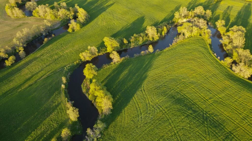
Water Usage Efficiency: Through the analysis of satellite imagery, farmers can identify areas of their fields that are either over-irrigated or under-irrigated. By adjusting their irrigation practices based on these insights, farmers can significantly improve water usage efficiency, crucial in regions where water scarcity is a concern. This also helps in reducing runoff and minimising the leaching of fertilisers into nearby water bodies.


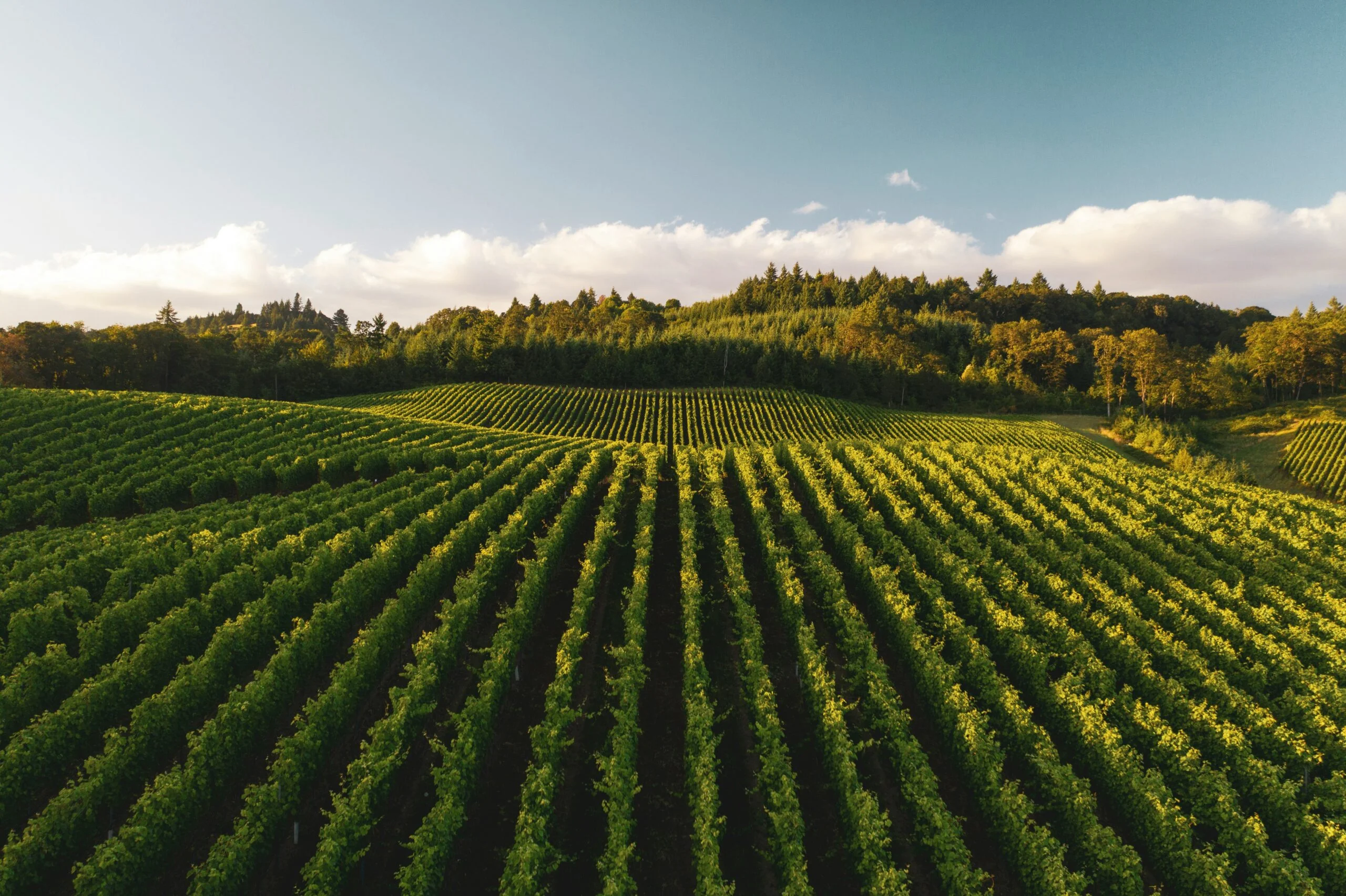
Crop Type Classification: EO technologies enable the mapping and classification of crop types at large scales. This is valuable for monitoring crop diversity, understanding cropping patterns, and planning crop rotations that enhance soil health. It also aids in assessing agricultural biodiversity, which is key to resilience against pests, diseases, and changing climatic conditions.


Biomass Monitoring: EO technologies are utilised for detailed biomass monitoring. This not only aids in understanding the CO2 absorption capacity of ecosystems but also explores potentials for biomass energy production, aligning agricultural practices with sustainable energy goals.


Soil Condition & Vegetation Monitoring: EO enables monitoring of soil condition and moisture levels. Soil condition monitoring is important for understanding the growth potential and health status of plants. EO also enables the monitoring of vegetation coverage and health (through the generation of various indices such as NDVI). This information can be used to understand land cover statistics and provide inputs for efficient farm management practices.


Operations Management

Yield Prediction and Harvest Optimisation: Advanced EO data analytics allow for accurate yield predictions, enabling better planning of harvest operations and logistics. By analysing historical data and current growth conditions, EO technologies can forecast crop yields, helping farmers make informed decisions about the timing and scale of harvest operations, thus optimising resource allocation and reducing waste.


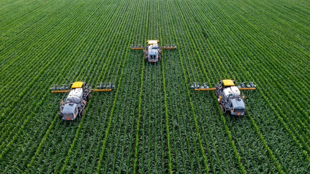
Precision Agriculture: Precision agriculture leverages EO data to implement farming practices that deliver the right treatment to the right place at the right time. This includes variable rate technology (VRT) for precise application of water, fertilisers, and pesticides, based on the specific needs of different sections of a field. EO can also monitor the growth and maintenance of grasslands. Mowing and grazing activities on grassland can be detected and verified using EO. This tailored approach maximizes crop productivity while minimising environmental impact.


Farm Management Systems (FMS): EO data, combined with GNSS, integrates into Farm Management Systems. FMSs are digital tools designed to optimize and oversee farm operations, incorporating EO and GNSS data to track crop growth, input usage, and overall farm efficiency. This integration is crucial for modern, smart farming practices that aim to increase production efficiency while reducing operational risks.


Integrated Pest Management (IPM): Leveraging EO data, IPM represents a sustainable approach to managing pests with minimal impact on the environment. By combining EO data with GNSS solutions for variable-rate pesticide application, farmers can create detailed crop maps and precisely position their spraying equipment, significantly reducing pesticide usage.


CAP monitoring: The enforcement of certain agricultural practices mandated by the Common Agricultural Policy, such as the maintenance of permanent grassland or the diversification of crop species, can all be monitored and enforced using EO.


Weather Services

Weather Forecasting and Climate Adaptation: Satellite data plays a crucial role in weather forecasting, offering farmers timely information on impending weather conditions. This allows for proactive measures to protect crops against adverse weather, such as frost or heatwaves. Furthermore, long-term climate data gathered from EO technologies support strategic planning for climate adaptation, helping farmers to select suitable crop varieties and adjust planting schedules in response to changing climate patterns.


Climate Services for Agriculture: Long-term forecasting and monitoring of climate variables relevant to agriculture using remotely sensed data are crucial. This includes air quality and land temperature monitoring through EO, which aids in predicting future harvests and yields, ensuring better preparedness for climate-related challenges.


Risk Management and Insurance: EO-derived weather data is instrumental in agricultural risk management and the development of insurance products. By quantifying the likelihood of weather-related events and their impact on crop yields, insurers can offer more accurate and fair premiums. Farmers benefit from tailored insurance policies that mitigate financial risk, encouraging investment in productivity-enhancing technologies and practices.

GNSS for Agriculture

GNSS technology, which provides geospatial positioning, navigation, and timing (PNT) services, is instrumental in enhancing the precision and efficiency of agricultural operations and enables the agricultural sector to achieve higher productivity, improved sustainability, and greater resilience to environmental challenges.

Precision Farming

Autonomous Farming Vehicles: GNSS technology enables both the automation of tractor steering, reducing the overlap between passes and thus saving fuel, time, and labour, and the operation of other autonomous vehicles and drones, enabling them to navigate fields with precision, carry out planting, weeding, and spraying tasks autonomously, and collect data on crop health and soil conditions. This precision guidance system allows for tighter row spacing, which can increase yield by optimizing field space utilization, reducing the need for manual labour and enhancing the efficiency of farm operations.


Variable Rate Application (VRA): GNSS facilitates the implementation of VRA of seeds, fertilizers, and pesticides. By using precise location data, inputs can be applied at variable rates within a field, based on soil properties and crop health information. This targeted approach maximizes crop yields while minimizing environmental impact and input costs.


Asset monitoring: GNSS provides insightful telematics data from tractors and other farm vehicles/assets to help increase efficiency when conducting operations, monitor workforce activity and reduce costs.


Field Mapping and Surveying

Field Boundary Mapping: GNSS is used to create accurate field boundary maps, which are essential for record-keeping, regulatory compliance, and planning field operations. These maps can also be used to calculate precise acreage for seed, fertilizer, and chemical applications.


Soil Sampling: GNSS technology guides the collection of soil samples at specific locations within a field. This georeferenced soil data helps in creating detailed soil health maps, allowing for more tailored and effective soil management strategies.


Precision irrigation: Similar to variable rate application, precision irrigation combines GNSS positioning with EO information to distribute the appropriate amount of water for irrigating crops. 


Crop Monitoring and Management

Yield Monitoring: GNSS systems are integrated into yield monitoring equipment to provide spatially referenced yield data. This information is crucial for identifying variability within fields, understanding the impact of management decisions on yield, and planning future farming practices.


Crop Scouting: Using GNSS technology, farmers and agronomists can accurately record the location of weed infestations, pest pressure, or disease outbreaks during crop scouting. This georeferenced data supports targeted intervention measures and improves the efficiency of pest and disease management strategies.


Livestock Management

Animal Tracking: GNSS collars or tags are used to monitor the location and movement of livestock. This enables efficient management of grazing, quick location of animals in need of attention, and analysis of animal behaviour patterns for health and welfare assessments.


Pasture Management: By combining GNSS data with other technologies, farmers can manage pastures more effectively, optimizing grazing patterns to maintain pasture health and maximize livestock productivity. GNSS-guided fencing systems can create virtual fences, allowing for flexible grazing management without the need for physical barriers.

SatCom for Agriculture

Integrating SatCom into agricultural practices ensures connectivity across vast and remote farming areas, contributing significantly to the sustainability and efficiency of agricultural operations globally.

Remote Farm Management: SatCom enables real-time monitoring and management of farms located in remote areas where terrestrial network coverage is absent. It facilitates the use of IoT devices and sensors for monitoring soil moisture, crop health, and livestock conditions, transmitting this data to farmers and agronomists for timely decision-making.


Precision Agriculture: Through high-speed data communication, SatCom supports the delivery of detailed weather information, high-resolution satellite images, and other critical data directly to farming equipment and management systems. This allows for precision farming practices, including precise irrigation, fertilization, and pest control, optimizing resource use and improving yields.


Supply Chain and Logistics Management: SatCom provides connectivity solutions for tracking and managing the agricultural supply chain. From field to market, real-time data on crop storage conditions, transportation, and delivery can enhance operational efficiency, reduce wastage, and ensure product quality.


Disaster Response and Risk Management: In agriculture, the ability to quickly respond to natural disasters (such as droughts, floods, and wildfires) is critical. SatCom enables immediate communication and coordination of emergency response efforts, supports damage assessment through satellite imagery, and aids in the efficient distribution of aid to affected areas.


Agricultural Education and Support Services: Delivering educational content and support services to farmers in remote areas is facilitated by SatCom. This includes access to training videos, real-time advice from agricultural experts, and online platforms for knowledge sharing among farming communities, contributing to improved farming practices and livelihoods.

Innovative Applications

Digital Twins in Agriculture: The concept of digital twins represents a significant innovation in agricultural practices. Digital twins serve as digital replicas of physical farm operations, allowing for the simulation and analysis of agricultural processes in a virtual environment. This technology, powered by EO and GNSS data, enables farmers to predict outcomes of various farming interventions with high accuracy, optimizing decision-making and enhancing productivity.


Swarm Robotics: Small, GNSS-enabled robots, drones, and UAVs can work in swarms to perform tasks such as planting, pest control, and crop monitoring more efficiently than traditional methods. The application of swarm robotics in precision agriculture promotes high-precision farming, reduces labour needs, and enhances crop management through detailed soil and crop data collection.

Unlock Your Industry's Potential with Space - Schedule a Free Consultation Today!